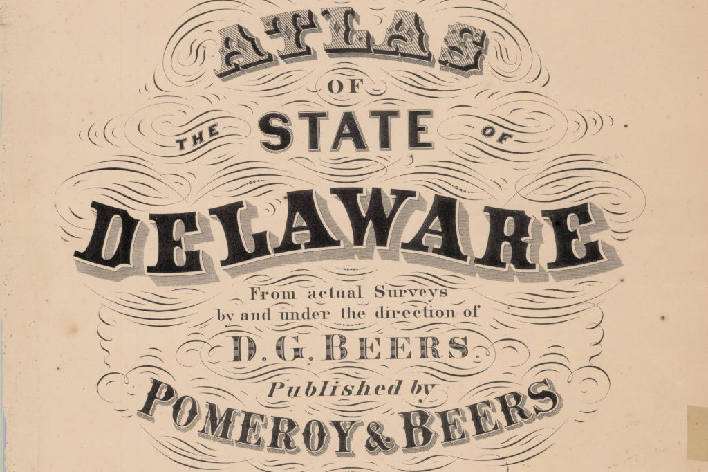
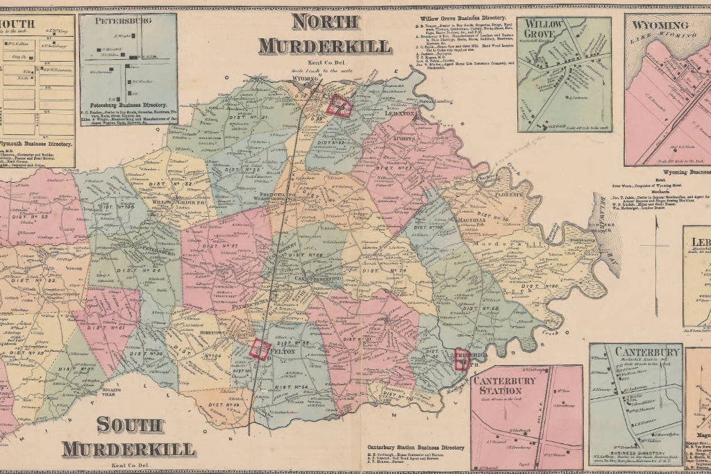
The State Map Collection includes several dated and undated maps of areas in Delaware, Pennsylvania, Maryland, Virginia, and other surrounding areas. Some maps are of Delaware Bay, the Chesapeake and Delaware Canal, military forts, and major cities. Pomeroy and Beers’ Atlas of the State of Delaware, depicting Delaware by the hundreds, is also part of this collection.
These maps date from 1493 and are arranged by category and then chronologically. Digital Copies for 40+ maps are available on CONTENTdm. These are in Good/Fair condition with some light acid and storage damage.
Delaware's Governor
State Directory
Elected Officials
General Assembly
Delaware Courts
State Employees
Cities & Towns
Delaware State Code
State Regulations
Business First Steps
Phone Directory
Locations Directory
Delaware Public Meetings
Voting & Elections
Transparency
Choose Health DE
Tax Center
Personal Income Tax
Privacy Policy
Weather & Travel
Contact State Agencies
Corporations
Franchise Tax
Gross Receipts Tax
Withholding Tax
Guides to Services
Help Center
Mobile Apps
E-mail / Text Alerts
Social Media

Built by the Government Information Center
©MMXXVI Delaware.gov